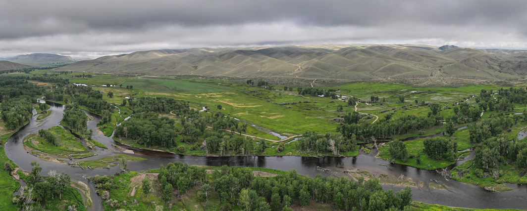
Big Hole River
The Big Hole River flows beneath BLM administered lands on the slopes of Block Mountain.
Terms: Montana, MT - Beaverhead County, New, Project 22, Project 22 - Montana, Water
Image Dimensions: 4502 x 1806
Location Georeference: 45.4562, -112.4819
To show discounted pricing for your organization, please sign in or request an account.
LICENSING DETAILS: For more information about license types and their use, see the help page.
OTHER QUESTIONS: For all other questions or inquiries, email [email protected] or call 970.239.1236.

