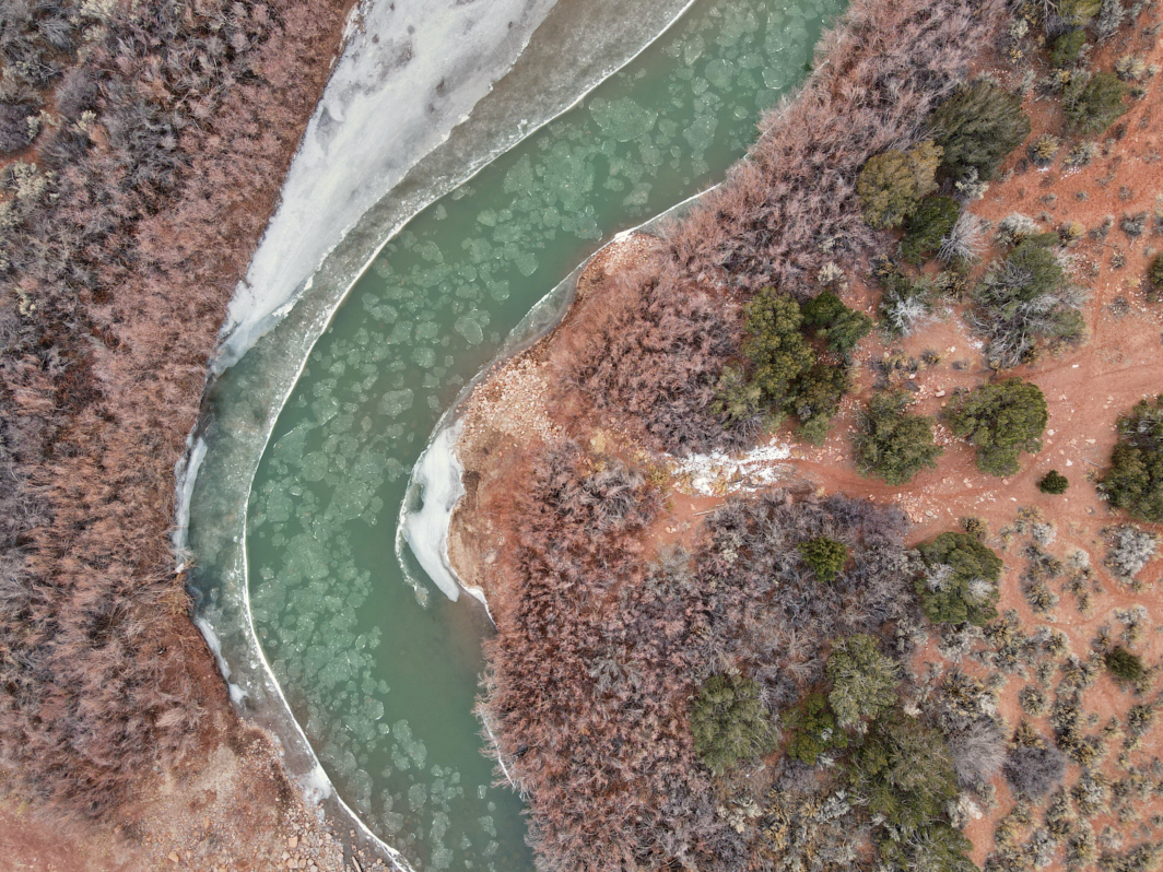
Dolores River
The Dolores River flows adjacent to the west side of The Palisade WSA.
Terms: BLM, CO - Mesa County, Colorado, Colorado Wildlands Project, CWP - Dolores Region, Public Lands, The Palisade WSA, Water
Image Dimensions: 4000 x 3000
Location Georeference: 38.7124, -109.0092
To show discounted pricing for your organization, please sign in or request an account.
LICENSING DETAILS: For more information about license types and their use, see the help page.
OTHER QUESTIONS: For all other questions or inquiries, email info@ecostock.org or call 970.239.1236.

