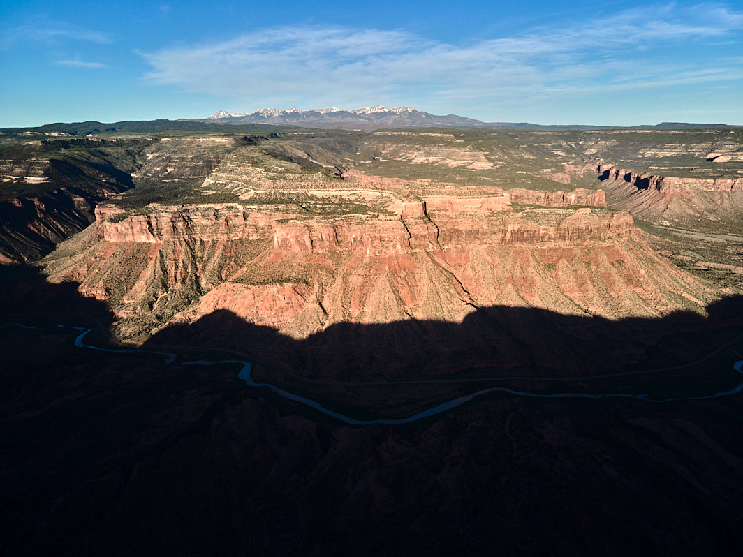
Dolores to the La Sal Mountains
The mesa bounded by John Brown Canyon to the north (right), Cottonwood Canyon to the south (left), the Dolores River to the east (foreground). The La Sal Mountains can be seen in the distance.
Terms: BLM, CO - Mesa County, Colorado, Colorado Wildlands Project, CWP - Dolores Region, Public Lands
Image Dimensions: 7888 x 5916
Location Georeference: 38.6190, -108.9590
To show discounted pricing for your organization, please sign in or request an account.
LICENSING DETAILS: For more information about license types and their use, see the help page.
OTHER QUESTIONS: For all other questions or inquiries, email [email protected] or call 970.239.1236.

