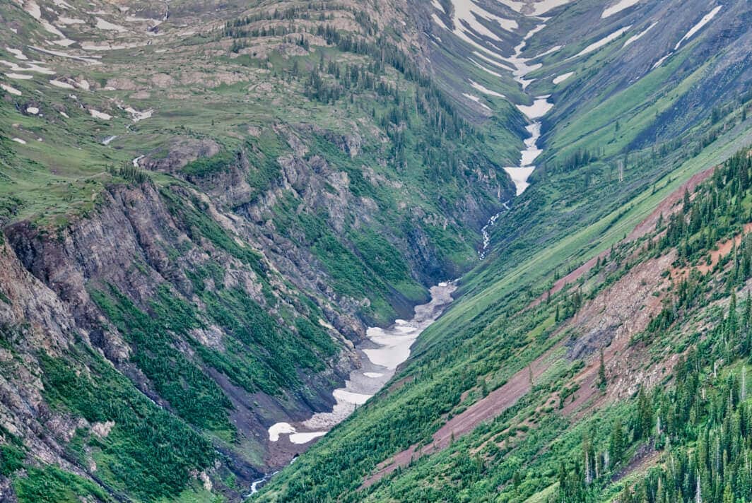
Poverty Gulch
The glacial valley designated to become part of the Poverty Gulch SMA under the Gunnision Public Lands Initiative. These are the headwaters of the Slate River which flows through Crested Butte, Colorado.
Terms: CO - Gunnison County, Colorado, GMUG National Forests, Gunnison National Forest, Gunnison Public Lands Initiative, National Forest, Poverty Gulch SMA, Public Lands
Image Dimensions: 3872 x 2592
Location Georeference: 38.9900, -107.0803
To show discounted pricing for your organization, please sign in or request an account.
LICENSING DETAILS: For more information about license types and their use, see the help page.
OTHER QUESTIONS: For all other questions or inquiries, email [email protected] or call 970.239.1236.

