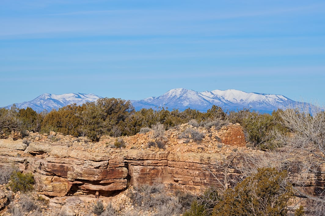
Ruin Point
Ancestral Puebloan Ruions on Ruin Point beneath the Abajo Mountains. Client Note: Ruins are approximately 500 feet east of lease.
Terms: BLM, New, Project 22, Project 22 - Hovenweep, Project 22 - Hovenweep - Priority – Authorized & Non-producing, Public Lands, UT -, UT - San Juan County, Utah
Image Dimensions: 7598 x 5065
Location Georeference: 37.4559, -109.0423
To show discounted pricing for your organization, please sign in or request an account.
LICENSING DETAILS: For more information about license types and their use, see the help page.
OTHER QUESTIONS: For all other questions or inquiries, email [email protected] or call 970.239.1236.

