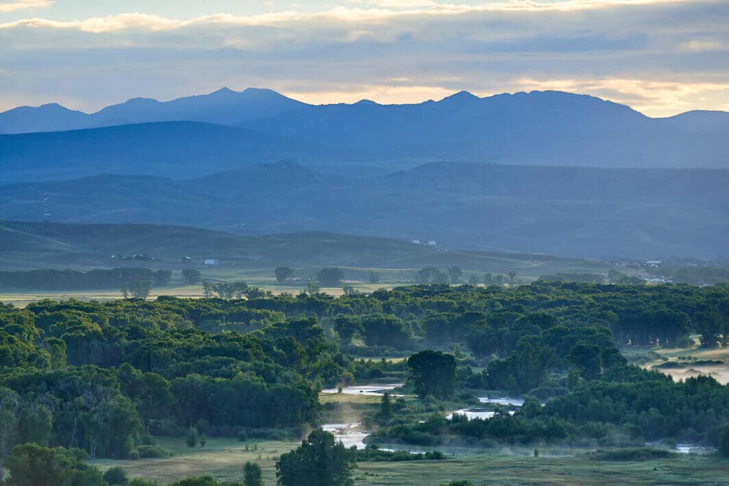
Signal Peak SMA
Looking East along the Gunnison River toward the proposed Signal Peak SMA under the Gunnison Public Lands Initiative.
Terms: CO - Gunnison County, Colorado, GMUG National Forests, Gunnison National Forest, Gunnison Public Lands Initiative, Mountains, National Forest, Public Lands, Signal Peak SMA
Image Dimensions: 6494 x 4334
Location Georeference: 38.5740, -106.8569
To show discounted pricing for your organization, please sign in or request an account.
LICENSING DETAILS: For more information about license types and their use, see the help page.
OTHER QUESTIONS: For all other questions or inquiries, email [email protected] or call 970.239.1236.

