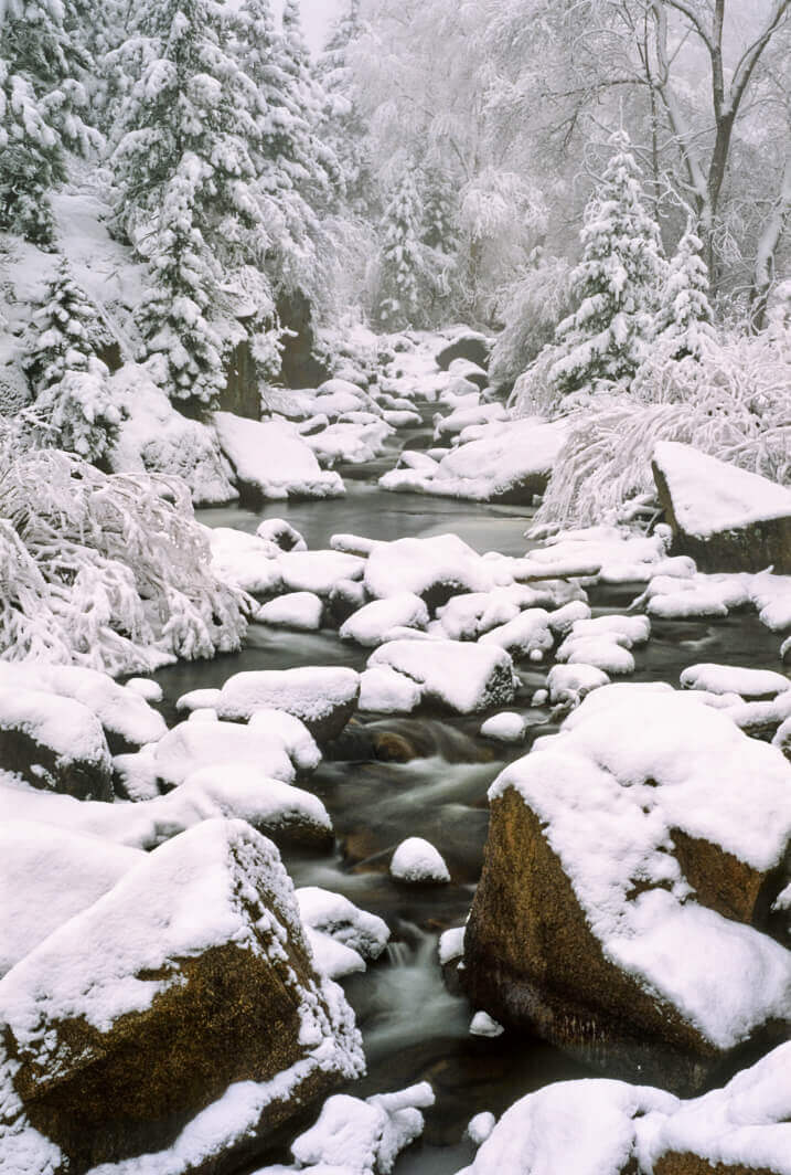
South Saint Vrain
The South Saint Vrain River tumbles through its rocky bed near the town of Lyons, Colorado. As these snows melt, the water level will rise enough that kayakers can paddle the class V rapids that form.
Terms: CO - Boulder County, Colorado, National Forest, Public Lands, Roosevelt National Forest, SV
Image Dimensions: 5031 x 7467
Location Georeference: 40.1830, -105.3417
To show discounted pricing for your organization, please sign in or request an account.
LICENSING DETAILS: For more information about license types and their use, see the help page.
OTHER QUESTIONS: For all other questions or inquiries, email info@ecostock.org or call 970.239.1236.

